Best places to live near Manchester
Five Greater Manchester boroughs ranked across 21 factors — from crime rates and school quality to flood risk, 5G coverage and house prices. All five score in the top 2% nationally for public safety. Scores run down to individual streets and postcodes across every area.
Search your own postcode on the map →Wigan
Greater Manchester

Wigan scores in the top 3% in England for safety and comes with solid 5G coverage and affordable housing — a combination that's hard to find this close to Manchester city centre. Areas like Standish, Lowton and Leigh are popular with families who want space without a premium price tag.
Stockport
Greater Manchester
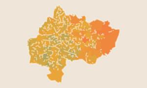
Stockport ranks in the top 2% nationally for public safety and scores well on every connectivity measure. It's noticeably cheaper than south Manchester yet on the Piccadilly line with direct trains into the city. Quality varies significantly by street, which is exactly where postcode-level data earns its keep.
Salford
Greater Manchester · MediaCityUK
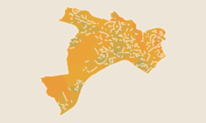
Salford leads Greater Manchester on 5G coverage and matches the region's best on safety, while council tax sits below the national average. Areas like Worsley, Eccles and Boothstown attract buyers who want city access at a lower price — and the data covers every street so you can find the best pockets.
Trafford
Greater Manchester · Sale & Altrincham
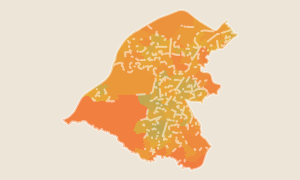
Trafford covers some of the most sought-after addresses in the North West — Sale, Altrincham, Stretford and Urmston. School quality is well above average and public safety is among the best in the country. Altrincham commands a premium; Sale and Urmston offer much the same scores at a lower price.
Tameside
Greater Manchester · Ashton, Hyde & Stalybridge
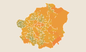
Tameside is one of the best-value boroughs near Manchester. It scores at the top of the region for flood safety and matches the best in Greater Manchester on crime. Ashton-under-Lyne, Hyde and Stalybridge are all within 20 minutes of Piccadilly by train.
How scores work
Each score (0–100) is a national percentile rank. A score of 55 means this area ranks better than 55% of all ~300 districts in England and Wales with default equal weights. 50 is the national average.
Want to go deeper?
Compare areas, save favourites and access postcode-level scores across all of England & Wales with Pro.
See Pro features