Best commuter towns near London
Five areas within an hour of the capital, each ranked across 21 factors — safety, schools, flood risk, climate and connectivity. Scores run down to individual streets and postcodes, so you can find the right home rather than just the right general area.
Search your own postcode on the map →Medway
Kent · Rochester, Chatham & Gillingham
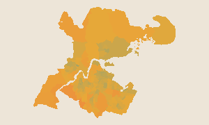
Medway is one of the best-value commuter options near London — trains reach St Pancras in 35 minutes, yet house prices sit well below the Home Counties average. It scores highly on connectivity and sunshine. Rochester and Gillingham feel like very different places to live, which is where postcode-level detail matters.
Havering
Outer East London · Romford & Hornchurch
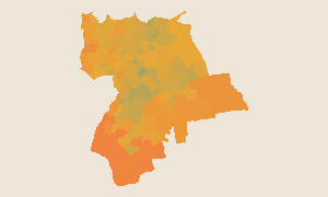
Havering — covering Romford, Hornchurch and Upminster — leads the entire country on 5G coverage. It's one of London's drier, warmer boroughs and sits at the cheaper end of the capital's property market. The Elizabeth line and District line reach central London in under 40 minutes.
Bracknell Forest
Berkshire · M4 Corridor
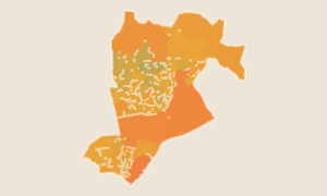
Bracknell Forest scores well on quietness and sunshine — two factors that matter day-to-day but rarely make headlines. It's surrounded by Swinley Forest and is cheaper per square foot than neighbouring Berkshire towns. A solid choice for buyers who commute along the M4 corridor or into Reading.
Chelmsford
Essex · County Town
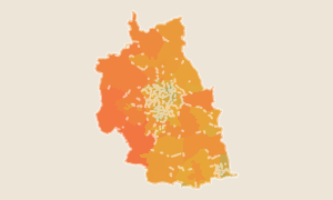
Chelmsford is one of the driest, sunniest cities in England — top 4% nationally on rainfall. Fast trains reach Liverpool Street in 34 minutes. The high street is strong, schools are above average, and there's a good stock of homes within walking distance of the station.
Reading
Berkshire · Elizabeth Line Terminus
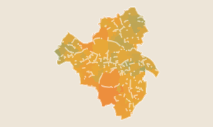
Reading scores near the top nationally on every digital infrastructure measure — near-complete 5G and fast broadband — while Elizabeth line services reach Paddington in 25 minutes. It's a strong choice for tech-sector buyers and those who need to stay connected while working from home.
How scores work
Each score (0–100) is a national percentile rank. A score of 58 means this area ranks better than 58% of all ~300 districts in England and Wales with default equal weights. 50 is the national average.
Want to go deeper?
Compare areas, save favourites and access postcode-level scores across all of England & Wales with Pro.
See Pro features