Best places to live near Birmingham
Five commuter towns and suburbs ranked across 21 factors — from crime and flood risk to schools, connectivity and house prices. Scores go right down to individual streets and postcodes, helping you find the right neighbourhood rather than just settling on a town.
Search your own postcode on the map →Redditch
Worcestershire · 15 miles south of Birmingham
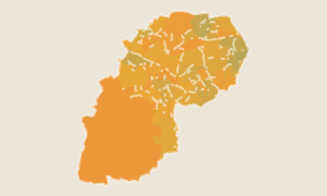
Redditch is one of the highest-scoring districts within easy reach of Birmingham — and one of the most overlooked. It has good 5G coverage, low flood risk and house prices below the West Midlands average. Arrow Vale and Webheath score best on quietness and safety within the town.
Cannock Chase
Staffordshire · North of Birmingham
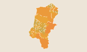
Cannock Chase scores among the best in the West Midlands for flood safety and sits just north of Birmingham in Staffordshire. House prices are well below the Birmingham average and the area borders the Cannock Chase Area of Outstanding Natural Beauty. Street-level data helps you compare Cannock, Rugeley and Hednesford side by side.
Rugby
Warwickshire · Dual commute — Birmingham & London
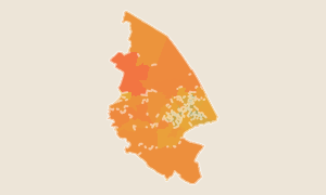
Rugby sits on the West Coast Main Line with fast trains to both Birmingham New Street (20 minutes) and London Euston (47 minutes). That dual commute potential, combined with house prices well below both cities' averages, has driven consistent demand. Postcode-level scores let you identify the best-performing streets within the town.
Warwick
Warwickshire · Leamington Spa & Warwick town
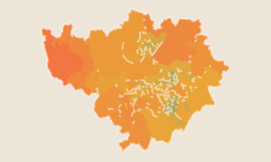
Warwick district covers Leamington Spa and Warwick town — two of the most sought-after addresses in the West Midlands. Birmingham New Street is 30 minutes by train. Street-level scores reveal which specific postcodes within Leamington and Warwick perform best across safety, schools and connectivity.
Solihull
West Midlands · NEC, Airport & HS2
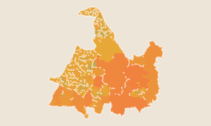
Solihull is the best-known premium suburb of Birmingham — home to the NEC, Birmingham Airport and HS2's Interchange station. School quality and flood safety both score above average. The composite score reflects its popularity (house prices are high), but postcode data reveals that Dorridge, Knowle and Balsall Common score significantly higher on quiet living than Solihull town centre.
How scores work
Each score (0–100) is a national percentile rank. A score of 53 means this area ranks better than 53% of all ~300 districts in England and Wales with default equal weights. 50 is the national average.
Want to go deeper?
Compare areas, save favourites and access postcode-level scores across all of England & Wales with Pro.
See Pro features