Best places to buy a house in Yorkshire
Five areas ranked across 21 factors — from crime and schools to flood risk, clean air and house prices. Data runs down to individual streets and postcodes so you can go beyond town-level comparisons and find the right neighbourhood.
Search your own postcode on the map →North East Lincolnshire
Grimsby & Cleethorpes
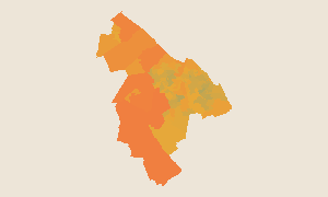
Grimsby and Cleethorpes consistently top our affordability rankings — house prices are in the top 15% for value nationally, and the area is drier than most of England. The seafront at Cleethorpes and the regenerating town centre are drawing buyers priced out of Lincolnshire's market towns.
York
North Yorkshire
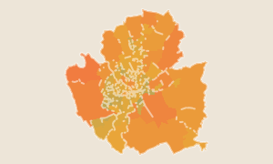
York is one of the most consistently high-scoring cities in the North — doing well across green space, quiet streets and connectivity. The trade-off is price: York's property market competes with the South East more than the rest of Yorkshire. Our postcode-level data helps buyers find pockets like Clifton and Acomb that offer York's quality at a more accessible price.
Sheffield
South Yorkshire
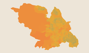
Sheffield scores above average on connectivity, flood safety and council tax — and it's one of the greenest cities in England with easy access to the Peak District. Property prices vary enormously by neighbourhood. Our data highlights S5 (Hillsborough, Southey) and S20 (Beighton) as the highest-scoring areas on a composite of all factors including affordability.
Kingston upon Hull
East Yorkshire
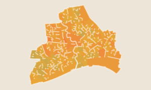
Hull is one of the best-value cities in England for buyers — house prices rank in the top 9% nationally for affordability. It's also drier and quieter than most people expect. The Fruit Market and Humber Street regeneration have changed the feel of the city, and postcode-level data helps you identify which areas are improving fastest.
East Riding of Yorkshire
Beverley, Driffield & the Yorkshire Wolds
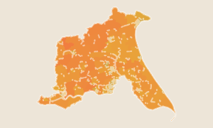
The East Riding stretches from Beverley to Bridlington across the Yorkshire Wolds — scoring well on clean air, low noise and dry weather. Beverley is the most popular address, combining market town character with good rail links. Our street-level data covers every neighbourhood so you can compare objectively rather than by reputation.
How scores work
Each score (0–100) is a national percentile rank. A score of 57 means this area ranks better than 57% of all ~300 districts in England and Wales with default equal weights. 50 is the national average.
Want to go deeper?
Compare areas, save favourites and access postcode-level scores across all of England & Wales with Pro.
See Pro features